
Art Deco Paris Map

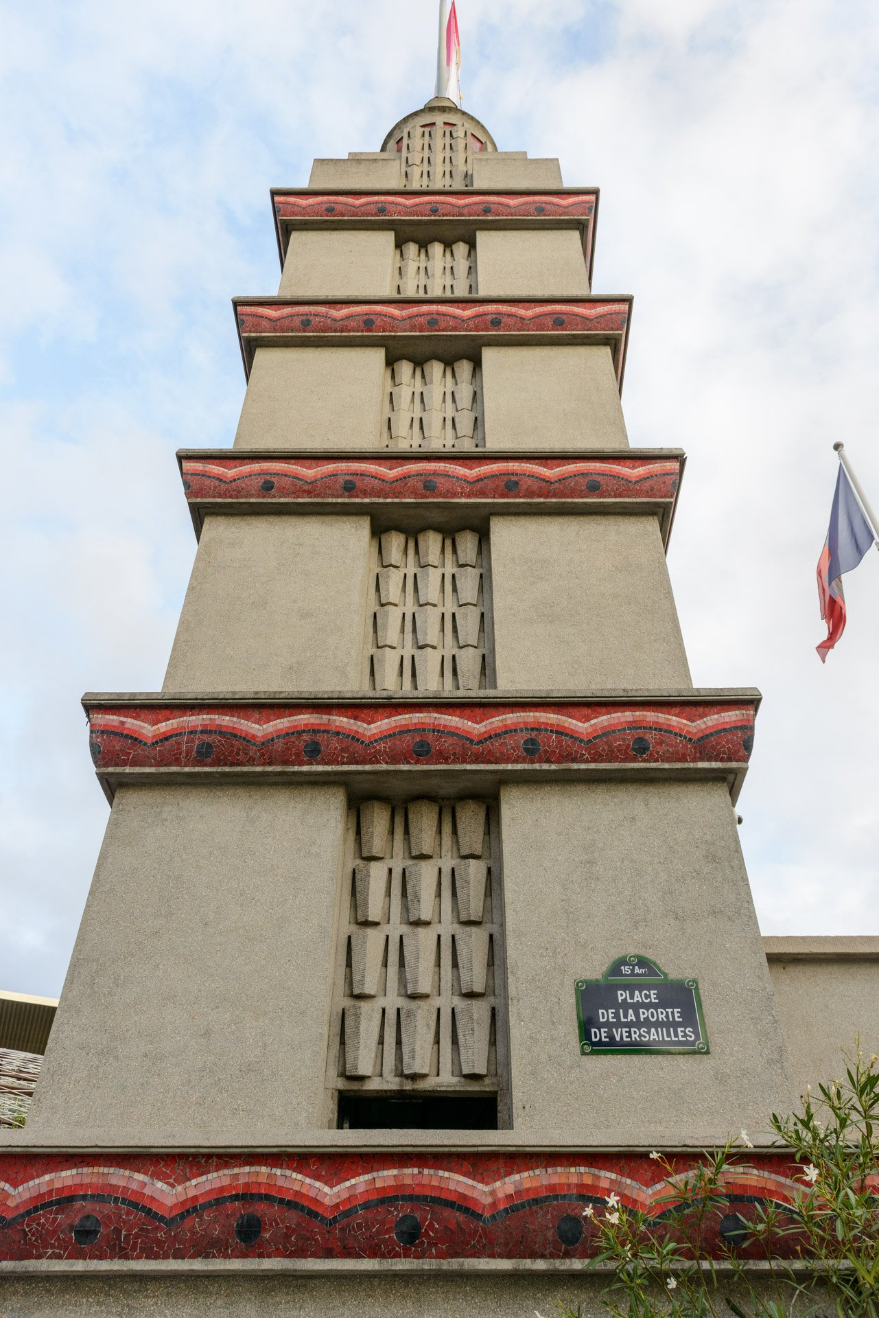
Photolanguage’s Art Deco Map of Paris was published in 2025, marking the centenary anniversary of the International Exhibition of Modern Decorative and Industrial Arts (1925). This completed a trilogy of Parisian maps for Blue Crow Media, and a decade of work on the city. The map includes examples dating from Auguste and Gustav Perret’s apartment building on rue Franklin (1904), through to the first phase of Garden City of Butte-Rouge (1939), in the southern suburb of Châtenay-Malabry. It charts an architectural evolution from Deco’s emergence from Beaux Arts and Art Nouveau through to a full flourishing of Art Deco urbanism and infrastructure, spanning centre to periphery, in buildings such as the airport terminal of Paris-Le Bourget by Georges Labro (1937) and Germain Dorel’s Cité 212 (1934) in the northern suburb of Blanc-Mesnil.
Supports: Blue Crow Media.
Photolanguage
The Art Deco Paris Map can be purchased from:




Click on image to enlarge and see captions.